Contact the Professor:
Robin Francis, rkf@bu.edu
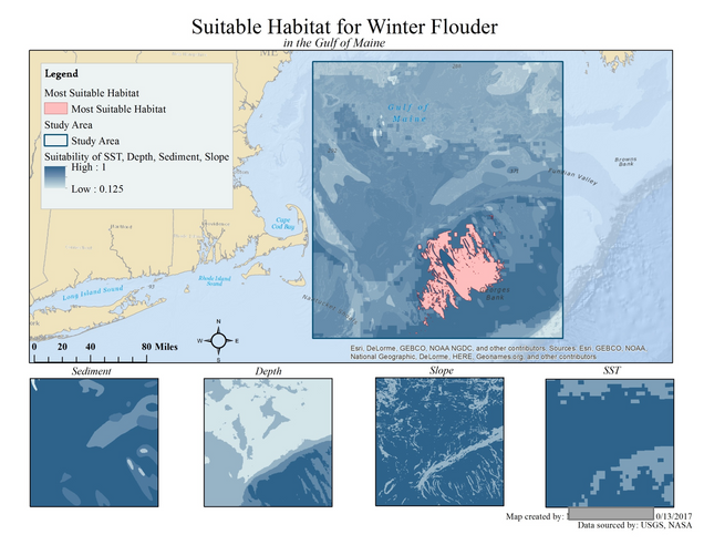
Marine Geographic Information Science is an introductory course on GIS principles, theories, and practices for marine environmental applications. We will focus on the fundamentals of marine GIS, spatial data, and spatial analysis by using real-world marine datasets using ESRI’s ArcGIS software. Topics will include, but are not limited to, oceanographic data acquisition, habitat modeling, species distribution modeling, and marine spatial planning for conservation and human uses. There are no pre-requisites for this class, but computer proficiency is needed and basic understanding of statistics is helpful. The class will also host guest lecturers from the Marine GIS field.
Syllabus: MarineGIS_Syllabus