Summer in the Field: How Surging Tourism and Development in Belize are Threatening Coastal Mangroves
The Central American country of Belize is experiencing rapid development due to an increase in tourists, expatriates and immigrants entering the country. As part of the 2023 Summer in the Field Fellowship Program, I was able to explore how this rapid development varies across the country and how different communities are reacting to and handling these sudden changes. As a PhD student interested in the human effects on natural systems, I know it is paramount that we understand the motivations of developers and the effects that they have on both human and natural systems.
My research utilizes a system model called Multi-scale Integrated Models for Ecosystem Services (MIMES) to examine complex issues related to tipping points and sudden changes in the natural coastal world. To properly construct a MIMES model, I need to understand not only the physical aspects of a landscape (i.e. geomorphology, land cover, forest health), but also the needs of stakeholders such as investors, locals and tourists. I need to quantify ecosystem services to understand the value provided by a natural system.
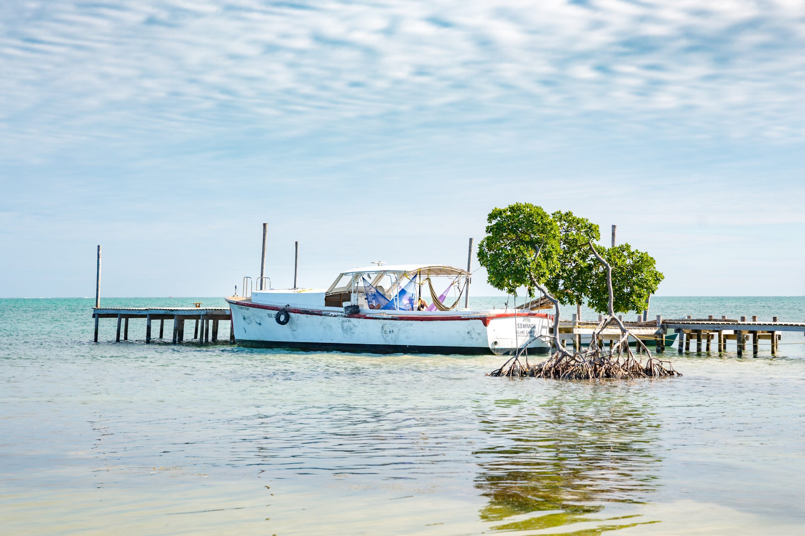
My ecosystem of interest is mangrove forests specifically in coastal Belize. Mangroves are a type of coastal tree that supports itself on prop roots to hold it above the high-tide marks. Mangroves provide important ecosystem services, from carbon sequestration to storm surge protection. Belize’s government and non-governmental organizations have put a massive emphasis on quantifying mangrove cover and its benefits as a source of Blue Carbon sequestration in both its living wood and the soil around it. Additionally, mangroves can protect coastal communities from storm surge by dispersing the energy of waves caused by storms.
In Belize, there are an estimated 58,000 hectares of extant mangrove forest, which are protected by law under the Environmental Protection Act; however, implementation of these rules is incredibly challenging, largely due to the money that developers bring in by way of both bribes and business. Finally, all land within 60 feet from the hightide line is considered Queen’s Land, or public land which cannot have its access restricted. Despite this, it has become the norm for large resorts and developments on that land to ignore the accessibility aspect of Queen’s Land. This creates challenges regarding both the protection of mangroves as it becomes harder to see their destruction from the ground, and the restriction of locals’ access to their traditional lands. In the village of Hopkins, this included access to historical burial grounds. Understanding these points of access and changes to that access creates a more comprehensive MIMES model.
Belize is a developing nation seeking to follow the United Nations 2030 Sustainable Development Goals (SDGs) in order to harness a better future for their people. The SDGs, however, can be contradictory, as they call for both increases in infrastructure such as roads, electricity and potable water, while also requiring that individuals do not desecrate existing natural resources both on the land and in the water.
As a 2023 Summer in the Field Fellow, my research goal was to gain an inherent understanding of mangrove forests, the cultural connections to them and the threats they face both past and present. Throughout this research trip, I was able to explore the mangrove forests of Placencia and discover the orchids that call these mangroves home. In Hopkins, I witnessed underhanded attempts to remove mangroves without proper permitting. In Caye Caulker, I learned about a community at risk of storm surge due to the removal of their mangroves. Witnessing the impacts and risks to mangroves in these three locations revealed the unique challenges communities face in conserving and preserving mangrove forests.
Placencia
Placencia is colloquially referred to as “The caye you can drive to.” Placencia is in Southern Belize far from Belize City, the main point of entry for foreigners, and from the popular tourist spots of the northern cayes. This town is situated at the end of the long Placencia Peninsula and is bordered to the west by the Placencia Lagoon and to the east by the Caribbean Sea. Although less visited by tourists than Caye Caulker and San Pedro in the north, Placencia is a popular item on tourist itineraries and even more popular for a growing expat community, particularly in communities just north of Placencia town, including Maya Beach.
Until Hurricane Ida in 2001, Placencia was a small fishing village with limited foreign travelers outside of adventure seeking backpackers. However, Hurricane Iris destroyed the infrastructure and homes of the town. Many locals were forced to sell off their land in order to support their families. This surge in cheap beachside land led to an influx in foreign investment, an increase in hotels and resorts and a loss of traditional ecosystems. Mangrove forests are among the main ecosystems that have been damaged and lost.
As a nursery to fish, mangroves protect coastal lands from storm surge and provide unique ecosystems. Although it is illegal to remove mangroves without proper permitting, many are removed anyway. By visiting Placencia, I was able to learn about the risks to mangroves due to tourism and urban growth. I interacted with people who witnessed this transformation in the mangrove ecosystem. As a local amateur biologist and animal rehabilitator working hard to replant mangroves noted, “What has taken me ten years to replant can be destroyed in a single day.”
Hopkins
Hopkins is also losing its old growth mangrove forests, but this community located north of the Placencia Peninsula is protected by a unique group of people determined to preserve their traditional lands. The Garifuna people were originally freed people on the Caribbean island of Saint Vincent, but were forced to relocate several times until Hopkins became one of their permanent settlements in the mid-20th century. They brought with them an inherent understanding of the land and utilized sustainable management to support their communities.
While in Hopkins, I had the opportunity to meet with Andrew Mick Castillo, a local leader involved in both the National Garifuna Council (NGC) and Southern Environmental Association (SEA). Mr. Castillo took me to Hawaii Estuary fishing point to show me how the land has changed and to discuss these changes. Development in Hopkins has focused not only on the development of resorts but also from increases in agriculture within the lagoon system that makes Hopkins such a unique geological place. While Mr. Castillo and I spoke, he pointed out a spot just north of us where illegal slash and burn of mangroves and coastal forest had just occurred.
My visit to this location showed me the direct impacts of mangrove and coastal destruction on the Garifuna people of Hopkins. It is not uncommon in this area for the sorts of changes pointed out by Mr. Castillo to occur without legal backing, only to be offered backing after. For example, if the forest is already destroyed, instead of issuing punishment, the government instead may look to cash in on what has occurred. The Garifuna people of Hopkins previously sued because of this sort of development in an attempt to bring awareness to the Government of Belize about the concerns of the local Garifuna population. However, even though the destruction occurred illegally, the government issued a permit after the development had already occurred causing the Garifuna’s suit to be null. Despite these obstacles, Mr. Castillo assured me that the Garifuna remain hopeful that they can support their traditional lands.
Caye Caulker
Caye Caulker is part of the northern Belize cayes and borders the Mesoamerican Barrier Reef. Tourists visit for easy access to the Hol Chan Marine Reserve, the barrier reef and Shark and Ray Alley. This cheaper alternative to the very popular San Pedro is now losing a large portion of its natural lands. Caye Caulker is split into two islands; the southern portion has been under development since the 1960s’, while the northern island has only started to be heavily developed in recent years.
The caye is only eight feet high at its tallest, making it incredibly susceptible to storm surge from hurricanes. The rapid increases in tourism have led to removal of native mangrove forest and displacement of local residents. As more mangroves are removed, flooding and property loss will increase during storm season.
Conclusion
In order to properly construct a MIMES model, I needed a first-hand perspective of the mangrove and coastal ecosystems critical to people in Belize. This research trip enabled me to witness first-hand the coastal development, mangrove destruction and societal impacts of current Belizean policies and actions. By getting to know the land and people, my research will be more complete, accurate and compassionate. Science does not exist within a vacuum and understanding the people that will be influenced by the policies my science impacts is critical to creating good science. Without this trip, my model would be lacking the critical element of understanding both the needs of the mangrove ecosystem and the demands of the human communities that live alongside it.
*
Learn more about the Summer in the Field Fellowship Program.